


Navionics Plus 34XG Chart Card Pacific Islands CF Card
Original price was: £279.00.£92.99Current price is: £92.99.
- Protect Your Wallet with Safe Payments
- 100% High Quality Guarantee
- Buy with confidence, backed by quality.
- We take quality seriously.


Now with SonarChart!
Whether you’re on the water or planning a trip, Navionics Plus
charts can take you there! The Navionics Plus Chart
Card is a 2-dimensional marine chart that’s considered to
be the navigation standard for serious mariners and fishermen. Now
with SonarChart, this chart lets you see extraordinary bottom
contour detail, great for increasing awareness of shallow waters
and for locating fishing areas at any depth level. You can also
switch to the standard Nautical chart appearance by simply pressing
1 button. The Navionics Plus provides superior detail, shaded depth
contours, real-world shapes, colours for buoys and navaids, tide
and current data, spot soundings and many more.
Just plug and play into a Navionics compatible plotter and have
easy access to all the essential information found on official
paper charts and fishing maps. These Navionics charts provide
navigators and fishermen all the necessary data for safer and
easier navigation.
SonarChart
SonarChart is an HD bathymetry map featuring extraordinary bottom
contour detail, great for increasing awareness of shallow waters
and for locating fishing areas at any depth level.
Navionics Plus Chart Card Features:
- Nautical Chart, SonarChart and Community Edits in one
card - High definition layer
- Take advantage of daily updates
- Format: CF Card
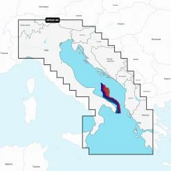
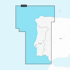
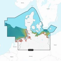
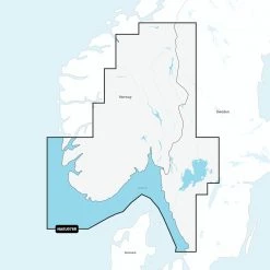
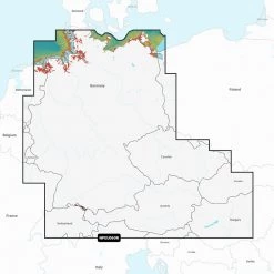
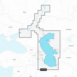
- Coverage: Pacific Islands
Navionics Plus GPS Chartplotter Compatibility Guide
Be the first to review “Navionics Plus 34XG Chart Card Pacific Islands CF Card”
Related products


Reviews
There are no reviews yet.